
Place Reference File
Tomb of Maqam of Sultan Shuja al-Din
What the sources say about this place
This file is an information file compiled from published sources. It is not an official document, title deed, registration or heritage-site record, and it makes no ruling on ownership, waqf status or protection status.
Permanent ID
https://saintsatlas.com/id/EA-Y-000639
Location
37.90648, 40.23532
People linked to this place
Show QR

Sources about the place itself
No published record in this layer.
Ottoman administrative record (salname)
No published record in this layer.
Historical map sheets
This location falls within the Kiepert — Karte von Kleinasien (1902–1916) — CVI (Diarbekir) sheet. · 2. baskı 1914 · 1914
Independent position check: median RMS 3031 m (threshold 1200 m → outside threshold) · measured October 21, 2026 · n=3
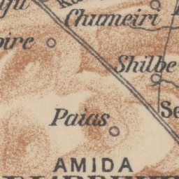
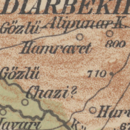
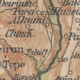
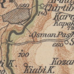
The circle shows the measured positional error (RMS) as a radius; no pin is placed on the old map.
© R. Kiepert, Karte von Kleinasien 1:400.000 (D. Reimer, Berlin 1902–1916) · Stanford Libraries, Public Domain · Original scan
This location falls within the AMS K502 — Turkey 1:250,000 (1953–58, 1955 place names) — NJ37-11 (Turkey, Diyarbakir) sheet. · AMS Edn. 1 (1953); Ordnance Survey 1956 · 1956
Independent position check: median RMS 1911 m (threshold 750 m → outside threshold) · measured October 21, 2026 · n=4
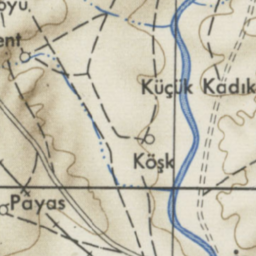
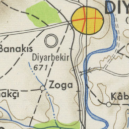
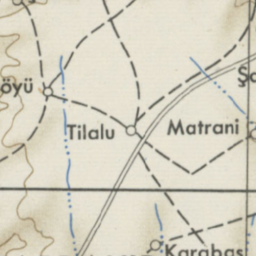
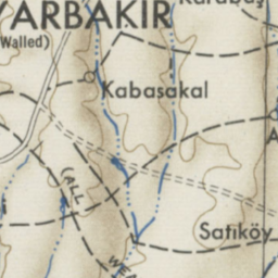
The circle shows the measured positional error (RMS) as a radius; no pin is placed on the old map.
© U.S. Army Map Service, Series K502 (1953; Ordnance Survey 1955–58) · ANU Open Research, Copyright Expired · Original scan
This location falls within the GSGS 4193 — Turkey 1:200,000 (1941–42; from Turkish 1913–37 originals) — E13 (E13) sheet. · elle georeferans
No independent position check has been made for this sheet yet; the positional error is unknown, so nothing is marked on the old map.
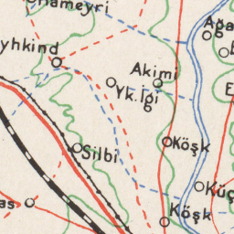
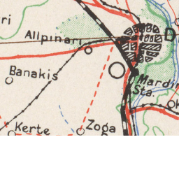
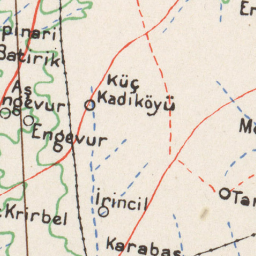
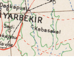
© Great Britain War Office, GSGS 4193 (1941–42), Türk 1:200.000 asıllarından (1913–37) · UT Austin PCL, kamu malı
This location falls within the GSGS 4193 — Turkey 1:200,000 (1941–42; from Turkish 1913–37 originals) — E14 (E14) sheet. · elle georeferans
Independent position check: median RMS 1316 m (threshold 750 m → outside threshold) · measured October 21, 2026 · n=2
The circle shows the measured positional error (RMS) as a radius; no pin is placed on the old map.
© Great Britain War Office, GSGS 4193 (1941–42), Türk 1:200.000 asıllarından (1913–37) · UT Austin PCL, kamu malı
This location falls within the GSGS 4193 — Turkey 1:200,000 (1941–42; from Turkish 1913–37 originals) — F14 (F14) sheet. · elle georeferans
Independent position check: median RMS 826 m (threshold 750 m → outside threshold) · measured October 21, 2026 · n=2
The circle shows the measured positional error (RMS) as a radius; no pin is placed on the old map.
© Great Britain War Office, GSGS 4193 (1941–42), Türk 1:200.000 asıllarından (1913–37) · UT Austin PCL, kamu malı
Traveller testimony
No double-signed traveller testimony yet.
Inscriptions and verses
No published record in this layer.
Proximity to UNESCO World Heritage
- Diyarbakır Kalesi ve Hevsel Bahçeleri Kültürel Peyzajı (UNESCO ref 1488) — 53 m from the Mardin Kapı component Source: Wikidata
Distance measured from the property/component point in Wikidata; not a statement about the site boundary.
Transport and accommodation
Public transport (timetable, not live)
No sourced stop data within 800 m.
Nearby accommodation
No published facility within 5 km.
This file is an information file compiled from published sources. It is not an official document, title deed, registration or heritage-site record, and it makes no ruling on ownership, waqf status or protection status.